Rømø is the forth in the range of Wadden Sea peninsulas and islands starting with Blåvand in the north and ending with Texel in the south. Despite the rather remote location, one of the world’s most geographically widespread and diverse ferry operators, the German FRS (Förde Reederei Seetouristik), calls the peninsula’s only ferry harbour Havneby.
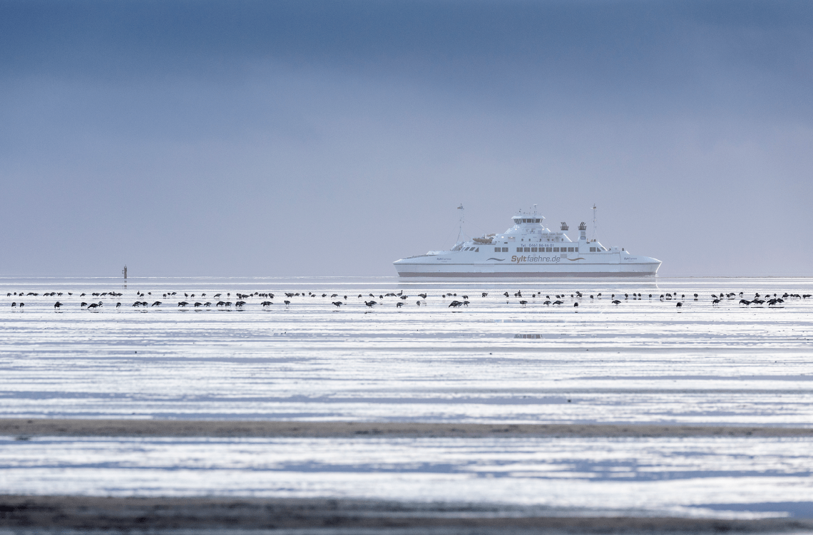
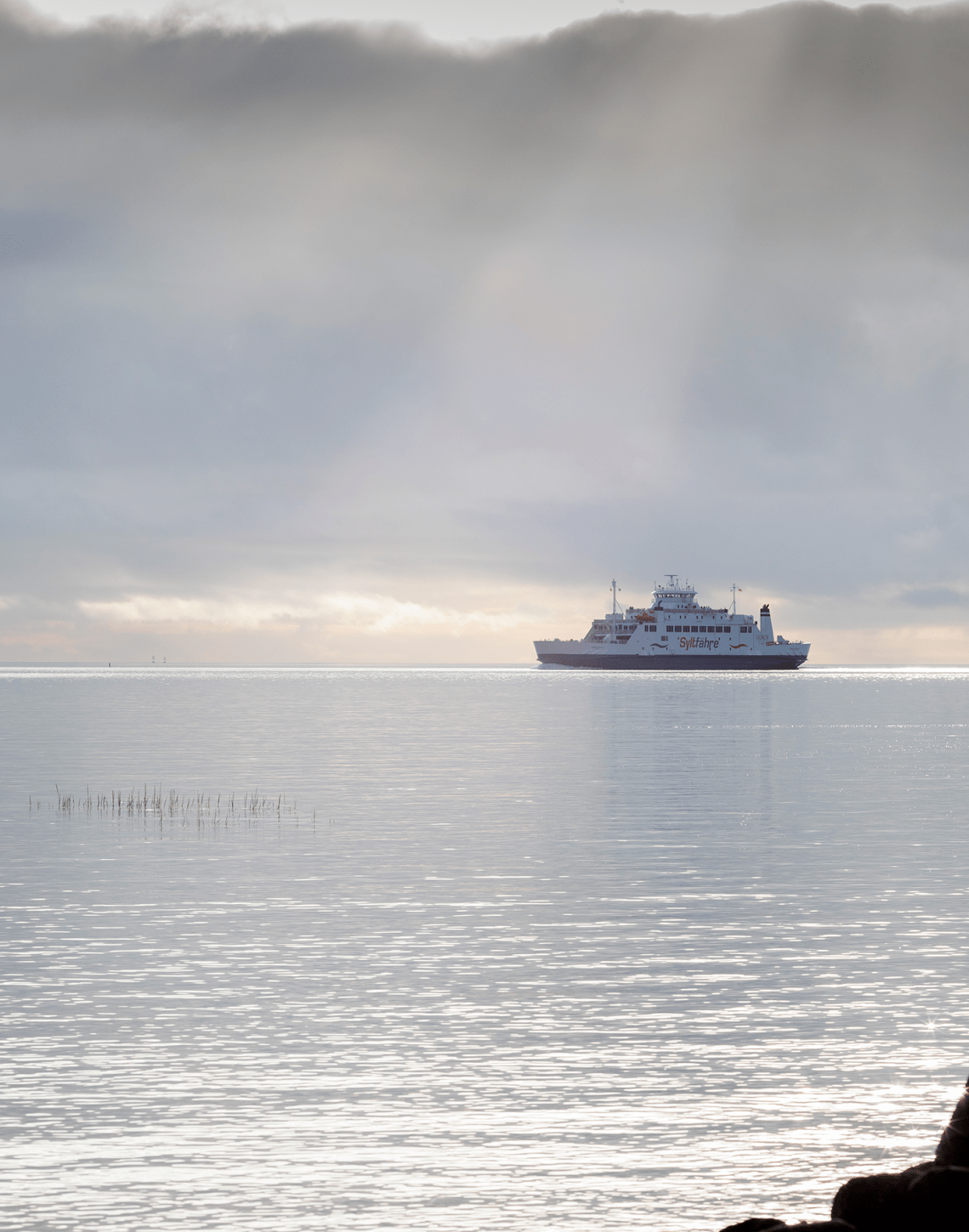
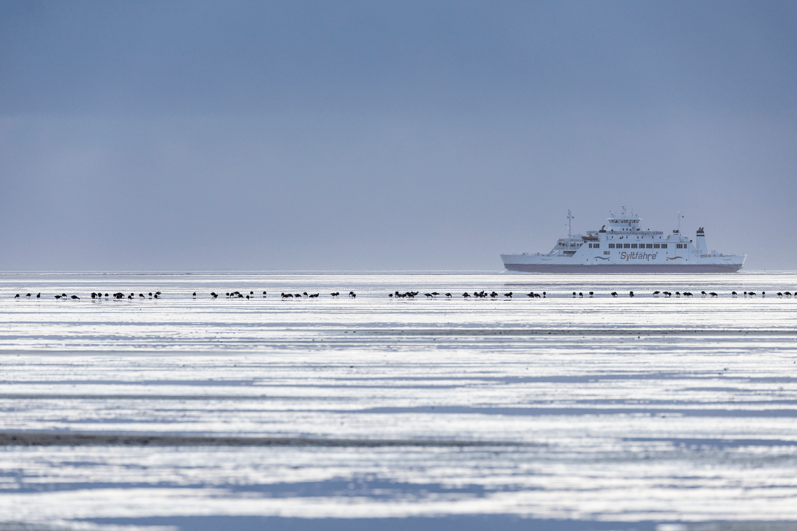
From here FRS’s subsidiary Syltfähre connects the Danish Rømø with the German Sylt, the fifth Wadden Sea landmark in the row and the most northerly of the North Frisian Islands. Like Rømø, Sylt is also land-fixed with a dam. While Rømø has a road dam, the German island has a fixed railway connection, The Hindenburg Dam.
Auto trains on the Hindenburg Dam normally serves as the main transport corridor to the German mainland, while the ferry to Havneby more acts as a leisurely shortcut to the Danish island for the many Germans who owns holiday cottages on Sylt or just visit the many resorts there.
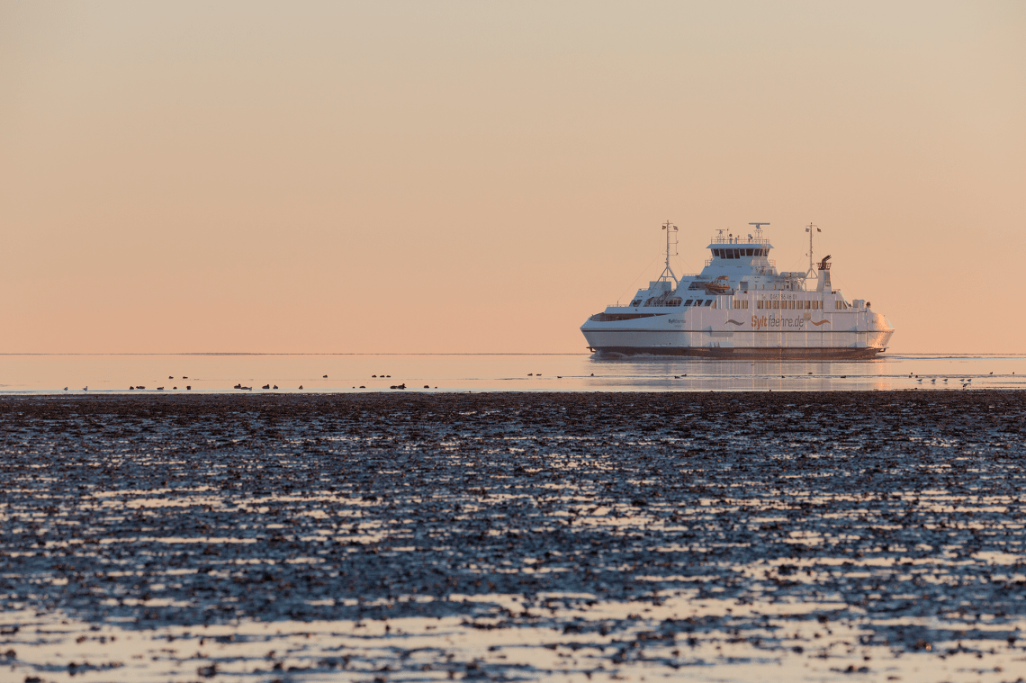
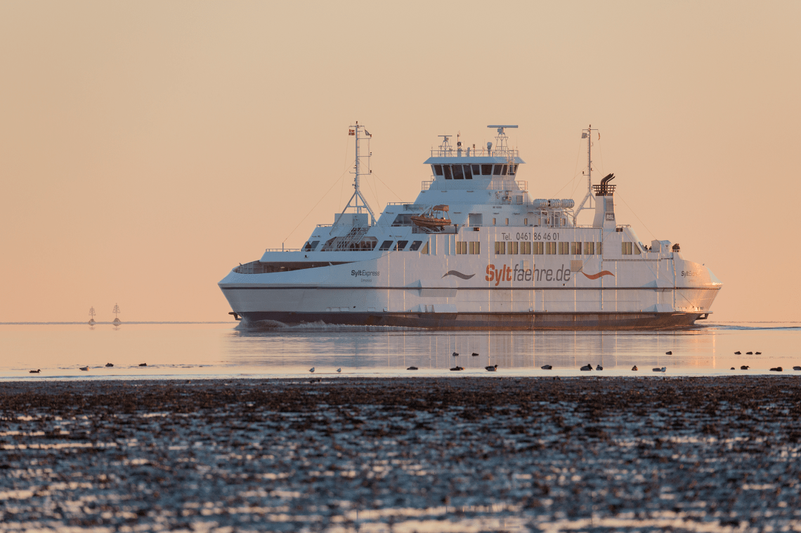
A current renovation work on the Hindenburg Dam created earlier this year the basis for an expansion of the car ferry connection to Rømø. And the increase from one to two ferries will probably be permanent as the traffic figures in recent years have been healthy.
Last time the route featured two ferries was in the period up to 2005, where the two ferries WESTERLAND and VIKINGLAND were replaced by the newbuilt present SYLT EXPRESS. FSR bought the 1991-built Norwegian ferry TRESFJORD as the second ferry. The ferry was rebuilt to be LNG-powered in 2010 and is now renamed ROMOEXPRESS.


The Wadden Sea-series:
The UNESCO World Heritage protected Wadden Sea stretching from Blåvandshuk in the southwestern part of Denmark southward along the German and Dutch North Sea coast down to Texel.
The unique environment of the Wadden Sea provide an interesting setting for maritime photography. In several special “Wadden Sea entries”, I visit some of these locations, where commercial shipping interacts with this very distinct marine landscape – or maybe more accurate “seascapes”.
Wikipedia about The Wadden Sea:
“The word wad is Dutch for “mud flat” (Low German and German: Watt, Danish: Vade). The area is typified by extensive tidal mud flats, deeper tidal trenches (tidal creeks) and the islands that are contained within this, a region continually contested by land and sea.
The landscape has been formed for a great part by storm tides in the 10th to 14th centuries, overflowing and carrying away former peat land behind the coastal dunes. The present islands are a remnant of the former coastal dunes.
Towards the North Sea the islands are marked by dunes and wide sandy beaches, and towards the Wadden Sea a low, tidal coast. The impact of waves and currents carrying away sediments is slowly changing both land masses and coastlines. For example, the islands of Vlieland and Ameland have moved eastwards through the centuries, having lost land on one side and added it on the other.”