
My Wadden Sea photo journey continues southward from Esbjerg and Fanø in Denmark crossing the border to German waters. So, we skip the Danish island Rømø and also pass the northernmost of the North Frisian Wadden Sea islands, Sylt – but both will be featured later in my series.
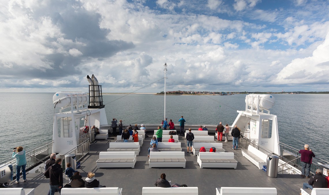
The destination in this second chapter is the two islands Föhr and Amrum, connected to the mainland from Dagebüll with car ferries from Wyker Dampfschiffs-Reederei.
I have visited the area three times during the last eight years; The exact period in which Wyker Dampfschiffs-Reederei accomplish a renewal of their fleet of conventional ferries with the newbuildings UTHLANDE (2010), SCHLESWIG-HOLSTEIN (2011) and NORDERAUE (2018).


The Wadden Sea-series:
The UNESCO World Heritage protected Wadden Sea stretching from Blåvandshuk in the southwestern part of Denmark southward along the German and Dutch North Sea coast down to Texel.
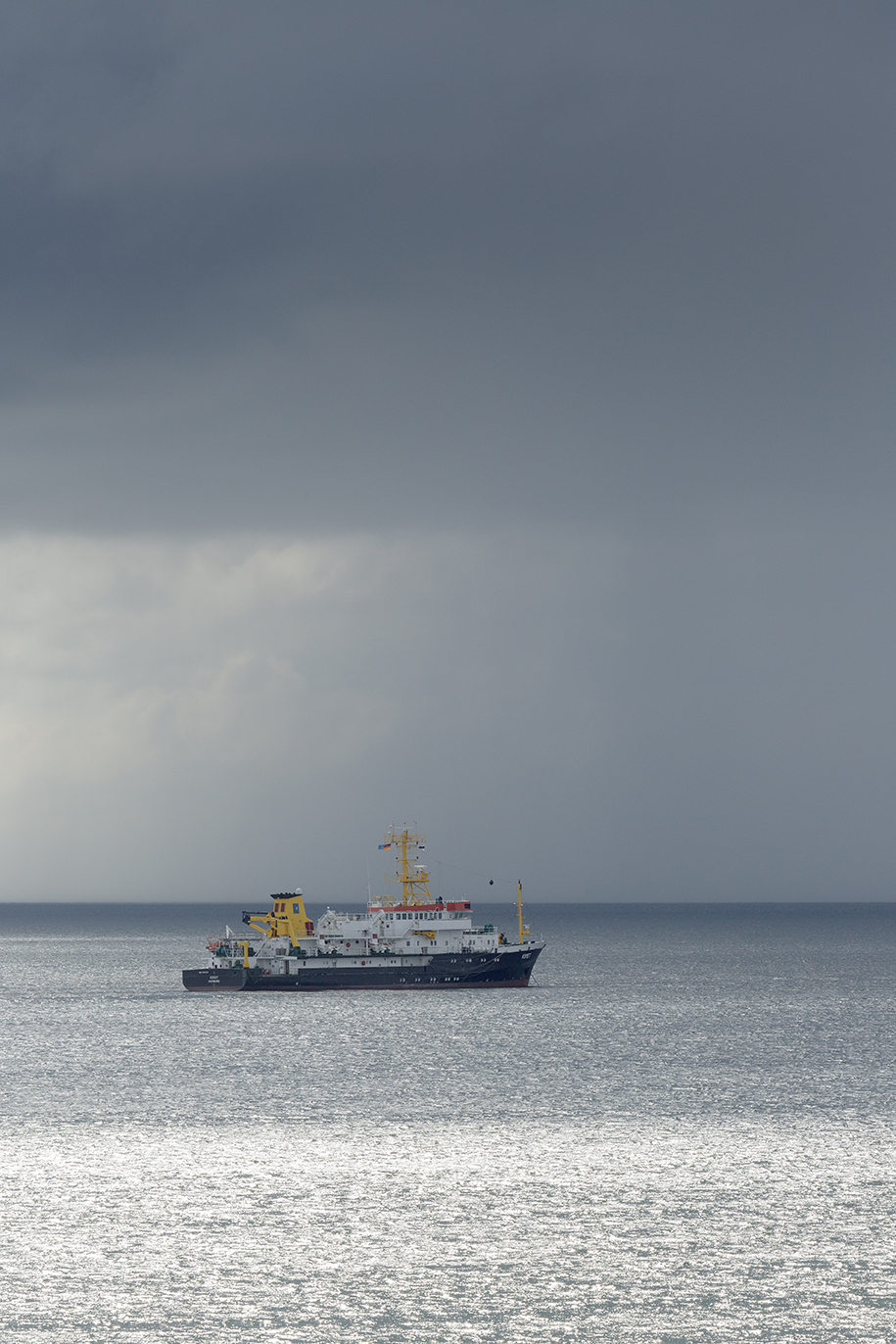
The unique environment of the Wadden Sea provide an interesting setting for maritime photography. In several special “Wadden Sea entries”, I visit some of these locations, where commercial shipping interacts with this very distinct marine landscape – or maybe more accurate “seascapes”.
Wikipedia about The Wadden Sea:
“The word wad is Dutch for “mud flat” (Low German and German: Watt, Danish: Vade). The area is typified by extensive tidal mud flats, deeper tidal trenches (tidal creeks) and the islands that are contained within this, a region continually contested by land and sea.
The landscape has been formed for a great part by storm tides in the 10th to 14th centuries, overflowing and carrying away former peat land behind the coastal dunes. The present islands are a remnant of the former coastal dunes.
Towards the North Sea the islands are marked by dunes and wide sandy beaches, and towards the Wadden Sea a low, tidal coast. The impact of waves and currents carrying away sediments is slowly changing both land masses and coastlines. For example, the islands of Vlieland and Ameland have moved eastwards through the centuries, having lost land on one side and added it on the other.”


